

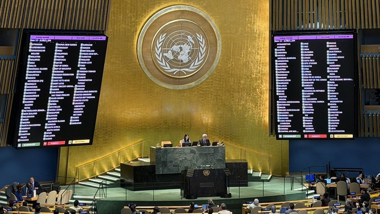
The United Nations General Assembly has voted to adopt the Equal Earth cartographic projection as its official world map, replacing the centuries-old Mercator projection to provide a more accurate representation of continental landmasses.
-
Voting Breakdown: The resolution passed with overwhelming support from 164 countries, while the United States voted against it and six other states abstained. France co-sponsored the resolution and announced it would abandon the Mercator map.
-
Geographic Correction: The traditional Mercator projection—designed for 16th-century maritime navigation—inflates northern regions and compresses equatorial zones. The new Equal Earth projection shrinks Europe and North America while making Africa, Latin America, South Asia, and Oceania appear significantly larger and true to their relative surface areas.
-
Proponent Arguments: Togo’s Foreign Minister Robert Dussey, whose country sponsored the resolution, argued that maps shape collective perceptions and should not perpetuate distorted historical representations. French Foreign Minister Jean-Noel Barrot called the shift “an act of truth,” noting that Greenland previously appeared nearly as large as Africa under the old model.
-
US Opposition: Washington strongly criticized the measure, with US representative Yaryna Ferencevych slamming the assembly for debating 16th-century map projects and cognitive justice instead of focusing on pressing global crises.
